Point Blue Conservation Science
2022 - $15,000 Natural Infrastructure
2019 - $15,000 Coastal Resiliency
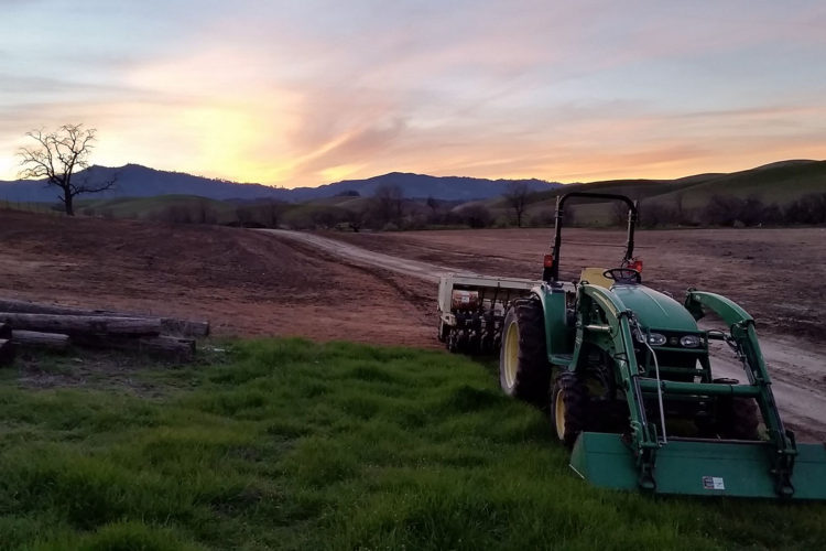
2018 - $15,000 Rangeland Watershed Initiative
Point Blue Conservation Science is an internationally recognized leader conserving birds, other wildlife, and ecosystems through science, partnerships, and outreach. Point Blue develops nature-based solutions to climate change, habitat loss, and other environmental threats on land and at sea to benefit wildlife and people. Based in California, where the organization was founded in 1965, Point Blue works from the Sierra to the Pacific and has international programs spanning 13 countries from Alaska to Antarctica. Its hundreds of organizational partners range from Native American tribes to K-12 schools, from farmers and ranchers to government agencies. With a foundation of collaborative climate-smart conservation actions today, natural and human communities will thrive well into the future.
Point Blue shares its scientific findings widely to facilitate the adoption of best practices. Through collecting data over decades, the organization identifies trends that provide guidance for government managers. Findings are shared through workshops, digital tools, and publications in scientific journals.
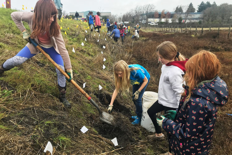
The Seed Fund’s support has facilitated success for the Sustaining Working Lands Initiative, operated in a unique partnership with the US Department of Agriculture. In counties across California, 12 Point Blue partner biologists live in local communities and help their ranching neighbors implement sustainable conservation on their land while simultaneously increasing production of food for livestock. Practices contributing to soil health and minimizing greenhouse gases include planned grazing, soil amendments, and wildlife habitat restoration. These practices increase the ability of soil to hold water, improve fish and wildlife habitat and water reliability downstream, and protect open space. In addition to addressing climate change, Point Blue’s working lands conservation work on tens of thousands of acres each year contributes to improved human health through reduced air and water pollution.
Point Blue also helps farmers and ranchers manage their lands for fire resilience, providing guidance for prescribed burns on private lands across five California counties. These planned burns can help minimize the risk of wildfire while also improving habitat for wildlife.
Point Blue biologists are using drones and associated novel technologies that make mapping rangeland at large spatial scales and fine resolutions efficient. This development can help support improved stewardship of these ecologically valuable landscapes.
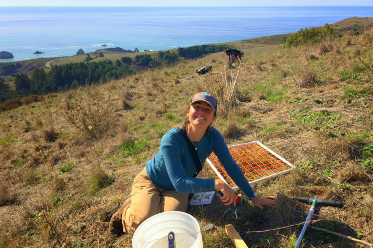
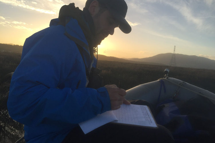
To help coastal communities respond to climate change, Point Blue’s Protecting Our Shorelines Initiative improves the ability of wildlife and people to adapt to flooding and erosion caused by rising seas using nature-based solutions. Restoring beaches can reduce wave energy, conserving and restoring wetlands will increase buffer zones and creating elevated spots in marshes provides spaces for wildlife to retreat to. Point Blue created the Sea Level Rise Adaptation Framework, a handbook for coastal decision makers to help determine which nature-based measures and outcomes are suitable for their location (produced with the San Francisco Bay Estuary Institute and Marin County). This guidance is in demand by municipal planners throughout California. With a grant from the Seed Fund, Point Blue is adapting the handbook to create curriculum and pilot a new training for local government planners, which offers the opportunity to apply what they have learned. From this pilot project, the training can be scaled for coastal government planners to learn best practices for adapting to rising seas with a focus on nature-based solutions, throughout the San Francisco Bay Area and beyond.
Point Blue partners with the U.S. Geological Survey, California government agencies, and others to deliver the state-of-the-art projections for sea level rise and storm induced flooding through our web tool, Our Coast Our Future. The tool has been used by more than 70 local, state, and federal agencies to plan for impacts from sea level rise and we will be adding a new user interface this year to make it even easier for diverse audiences with various levels of technical expertise to use this tool. Point Blue continues to work with coastal stakeholders across CA to apply the best available science and tools, such as Our Coast Our Future, to ensure resilience of our coastal communities and ecosystems from the potential impacts of sea level rise and climate change.